
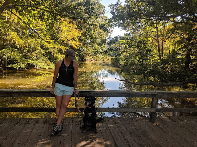
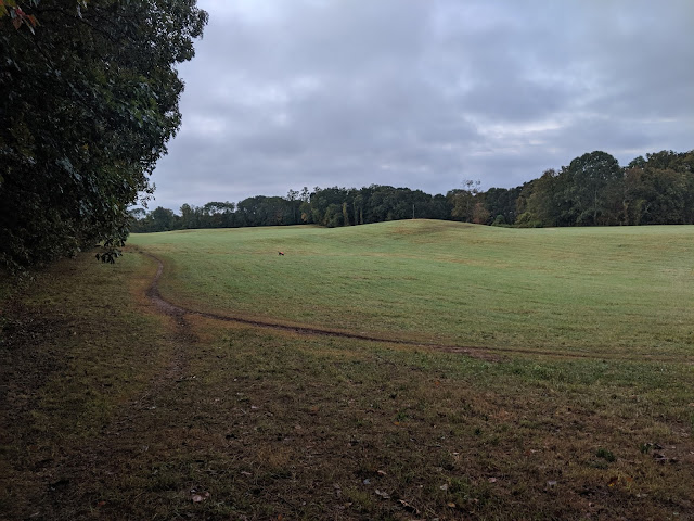
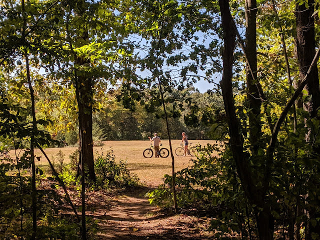
East River Preserve is kind of the space that has everything. Wide-open fields, lots of double-track through the woods, trails following the beautiful East River, wide gravel trails along the powerlines, quiet singletrack through the woods, and more. When I lived in Guilford, it was a spot I went almost weekly and even after moving away, it's still a preserve I keep coming back to. It can be busy during the weekends but it isn't mobbed by any means. There are various trailheads throughout town and it i's larger than you think. A hot sunny morning or a grey winter's day, East River Preserve is the perfect place for a hike during any season.

About
In 2009, the Town of Guilford purchased the East River Preserve which contains 583 acres of publicly accessible open space. The trails are open to hikers during daylight hours. Biking is allowed on Bearhouse Hill Road and along the power lines. Prohibited activities include motorized vehicles, camping, fires and alcohol. Dogs must be on leash and you must pick up all animal waste.
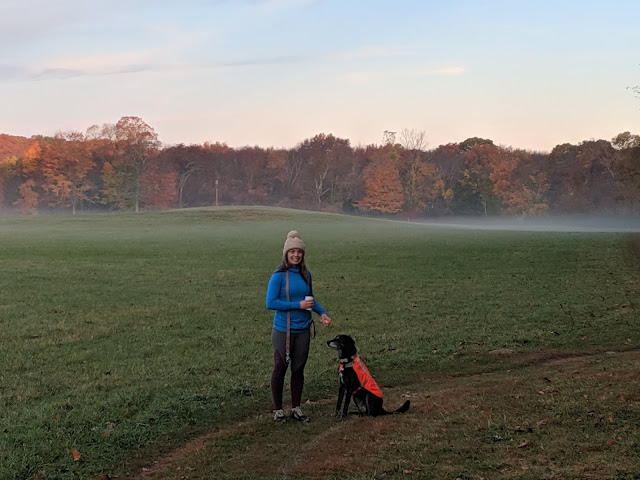
** I have taken my dogs here off-leash (on e-collar with a 100% instant recall, leashing them when we see anyone on the trail). While the preserve does have a leash rule, this is a popular place to find dogs off-leash as well.


Access/Parking
Sullivan Drive: The main parking area is off Sullivan Drive, at the entrance to the Guilford Stump Dump. There is a large parking area and you can also find garbage and recycling cans as well as a large map.Clapboard Hill Road: You can park along Clapboard Hill Road, just opposite the riding school at a pull-off
Podunk Road: There is also access and a parking area off of Podunk Road.
Duck Hole Road: Another small parking area is available on the right side of Duck Hole Road.
East Bearhouse Hill Road: Dead end road where you can also park by the river and access the trails.
There are no restrooms at any of the entrances/parking areas and there are only garbage facilities at the main entrance off Sullivan Drive.

Trail Map

Clickable/zoomable trail map here
Favorite Routes
There are so many ways to enjoy the preserve. Below, I am sharing some of my favorite routes which usually involve following the blue trail on the southern portion of the field before turning into the woods to follow
**There are more trails in the preserve that are not marked in this map, especially in the field area. A family-friendly option would be to follow the trail around the perimeter of the field.
From Sullivan Drive, head North on the blue trail (left side of the field bordering the entrance) until you reach the entrance to the woods. Follow the blue trail into the woods - you will pop out at a wide intersection of the blue and yellow trail. Stay left on the blue trail until you reach the power lines (the orange trail). Take a right (head east) and follow the orange trail up along the power lines. You will see an entrance to the yellow trail on your right (0.37 miles into the power lines) - pass this and in another 0.5 miles, curving right until you see an entrance to the white trail in the woods. Follow the white trail into the woods which will start heading west. The white trail will end at the yellow trail - turn left onto the yellow trail for a short time before hopping back on the blue trail where you came from.
This 3-mile loop creates a figure 8 through the park. From Sullivan Drive, head north along the blue trail across the field and enter the woods. At the intersection of the blue and yellow trail, keep heading left to stay n the blue trail which will bring you to the powerlines (orange trail). Follow the orange trail/power lines east for 0.37 miles until you reach the yellow trail on the right. Take a right, heading south back into the woods along the yellow trail. Follow the yellow trail south until you reach the field and follow the blue trail back along the southern portion of the field back to where you started.

*this is an extension of the first hike, adding on a mile along the fields. From Sullivan Drive, head North on the blue trail (left side of the field bordering the entrance) until you reach the entrance to the woods. Follow the blue trail into the woods - you will pop out at a wide intersection of the blue and yellow trail. Stay left on the blue trail until you reach the power lines (the orange trail). Take a right (head east) and follow the orange trail up along the power lines. You will see an entrance to the yellow trail on your right (0.37 miles into the power lines) - pass this and in another 0.5 miles, curving right until you see an entrance to the white trail in the woods. Follow the white trail into the woods which will start heading west. The white trail will end at the yellow trail - turn left onto the yellow trail and follow it down to the fields. Head back west along the blue trails along the southern portion of the field to the parking area.

From Sullivan Drive, head north along the blue trail across the field and enter the woods. At the intersection of the blue and yellow trail, keep heading left to stay n the blue trail which will bring you to the powerlines (orange trail). Follow the orange trail/power lines east for 0.37 miles until you reach the yellow trail now looking for the entrance on the left. Take a left, heading farther north another half mile until you reach the end of the trail on Leatherman Road. Follow Leatherman Road to E Bearhouse Hill Road until you reach the parking area for the preserve Turn onto the yellow trail following the trail south back into the preserve. Follow the yellow trail (past the black trail) until you reach the green trail. Turn left (southeast) onto the green trail, staying right at the other green trail branch off until you reach the red trail. Turn right onto the red trail and follow it to the end (start of the white trail). Turn left onto the white trail until the end and a left onto the yellow trail until you reach the blue trail around the field at the southern edge. Follow the blue trail west back to the parking area.

New England Scenic Trail
The East River Preserve also contains a section of the New England Trail. The 215 mile long "NET" was designated in 2009 and includes portions of four trail networks: the Mattabessett, Menunkatuck, and Metacomet Trails in Connecticut and in parts of the Metacomet- Monadnock trail in Massachusetts.


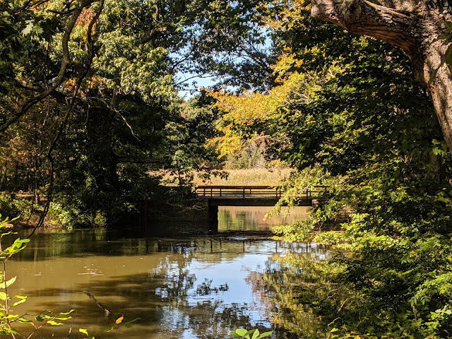
The preserve is such a beautiful space in every season. You can do a short loop around the field or a longer 6-mile hike around the preserve. Open fields, water views, wooded trails, and rolling hills through the power lines. It's the perfect place for a trail run or to enjoy a hike with your dog.
East River Preserve gave me a reason to love Guilford a little more.
Happy Hiking


No comments :
Post a Comment
Let's Chat!